
Aerial photos are an essential tool for many geotechnical engineering projects. For example, aerial photos can be used to track human activities over recent years (e.g., old buildings, roads, and ports), the existence of landslide features, or the local geology affecting a project. Aerial photos can be obtained through a number of private and public organizations.
These aerial photos of Moss Landing on Monterey Bay, California, were valuable in understanding liquefaction related damage from the 1989 Loma Prieta earthquake.
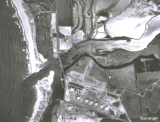
This aerial photo was taken in 1952. Monterey Bay is on the left.
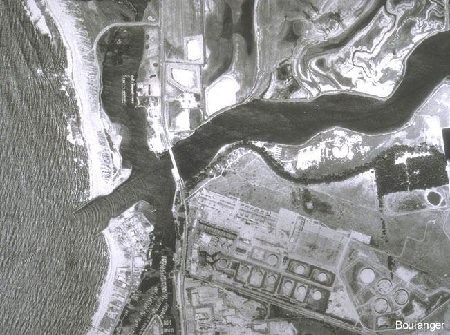
This 1987 aerial photo is of the same area. Comparisons of this photo with the 1952 photo (and other photos) show shoreline variations as well as old and new constructed facilities (e.g., see the new docks in the southern inner harbor). The shoreline variations helped identify locations of very young alluvial deposits, which correlated with some of the more extensive liquefaction damage.
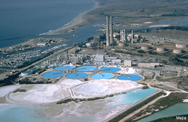
This 1989 photo from an airplane shows a different perspective of the Moss Landing site.