
Sacramento
These photos are from an alluvial deposit of sand and gravel, as exposed in an aggregate mining pit in Sacramento, California, in 1997. The excavation allows us to see the subsurface stratigraphy in its entirety. Imagine trying to infer the stratigraphy using SPT samples taken every 1.5-m in boreholes spaced 15-30 m apart. This simple exercise is a valuable learning opportunity and worth repeating every time you come a across a cut-exposure of soil or rock. This is because Geotechnical engineers must understand the limitations of most site characterization methods for capturing certain subsurface details, and understand how the resulting uncertainties affect different design procedures.
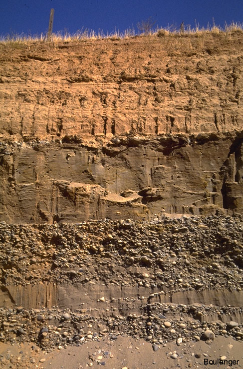
This cut exposure in the pit wall shows 1-2 m of silty clay near the ground surface, underlain by interbedded layers of sand, gravelly sand, and sandy gravel.
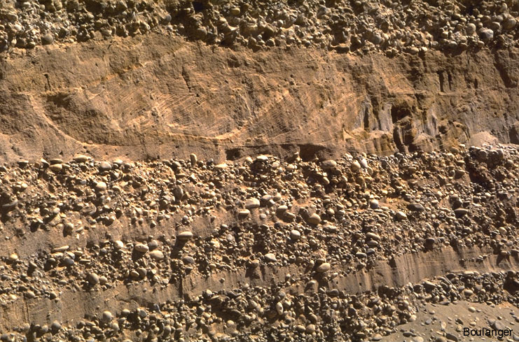
Close-up view of the above exposure. Notice the interlayering of the sand, gravelly sand, and sandy gravel lenses.
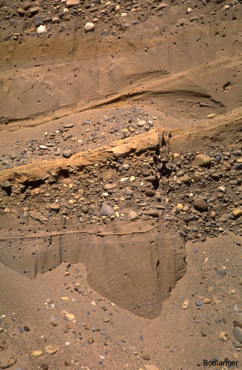
Another cut exposure.